Saturday, June 30, 2012

Trip to Gwynn’s Island (Post #6)

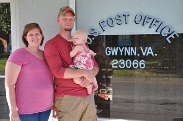
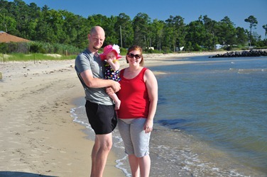
We tried to get some pictures with Gwynn and something showing the name of the island, but pickings were slim.

DSC_2719

DSC_2775

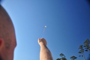
Artistic shot of a kite flying.

DSC_2807

DSC_2811

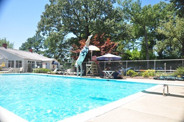
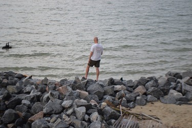
We went to the Yacht Club and daddy wooed the lifeguard with several spectacular dives.

DSC_2815

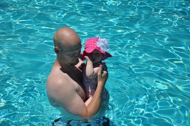
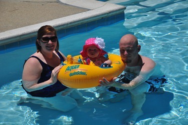
It took a while but Gwynn eventually enjoyed the water.

DSC_2823

DSC_2829

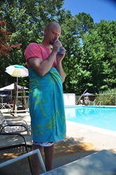
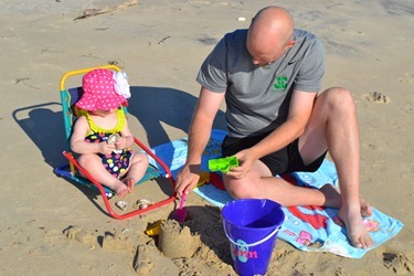
Daddy enjoying some juice.

DSC_2834

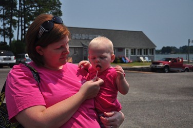
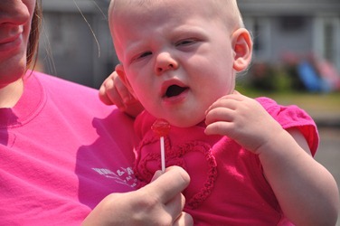
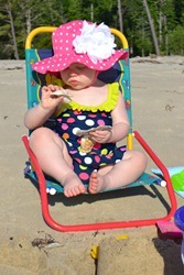
Gwynn loved trying her first lollipop!

DSC_2990

DSC_2991

DSC_6595

DSC_6593

Catching croakers.

DSC_6664

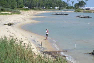
Running off to the beach.

DSC_6788

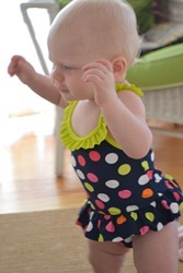
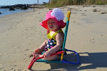
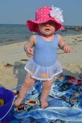
Gwynn enjoyed sitting on the beach, but not so much standing on the sand.

DSC_6800

Gwynn examining a shell.

DSC_6822

DSC_6837

Posing for a picture.

DSC_6917

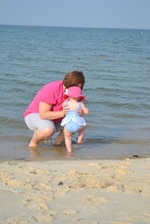
If Gwynn had the ability to levitate this is when she would use it. She only put one foot down at a time in the water.

DSC_6937

DSC_6673

Friday, June 29, 2012

Trip to Fredericksburg

Fredericksburg was a Confederate  victory in December 1862 during The War of Northern Aggression. The battlefield covered most of the city, but only a few acres is still as is. They do a good job of giving you an idea of how the battle went down though.

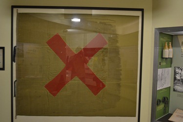
This flag is one of many that soldiers used to play tic tac toe during breaks between battles.
DSC_6864

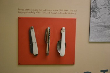
I would love a switchblade spoon.

DSC_6865

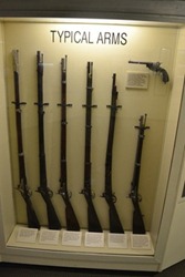
We were waiting for a guided tour of the battlefield and used the time to check out exhibits like these.
DSC_6867

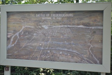
Painting courtesy of Fredericksburg Elementary’s 3rd grade art class.
DSC_6868

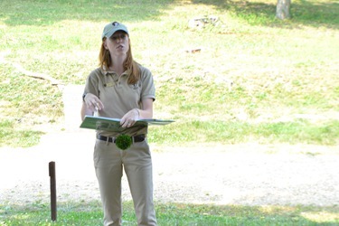
Our tour guide. She did a good job. She also works for free.
DSC_6877

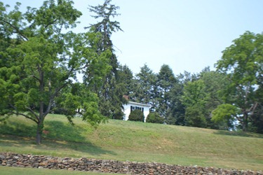
One of the homes on the hill atop the battlefield.
DSC_6869

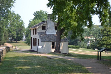
Back in the  day the city was smaller. Once you crossed the river you had several blocks of houses before coming to an open area where the battlefield was located.
DSC_6871

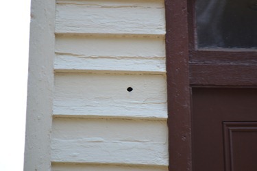
One of many bullet holes that are presumably from 1862.
DSC_6883

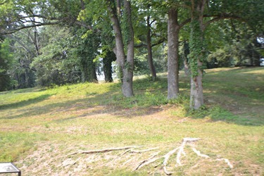
A bit of a hill to the left of the road.
DSC_6872

DSC_6873

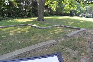
The outlining of one of the houses that was around during the battle.
DSC_6874

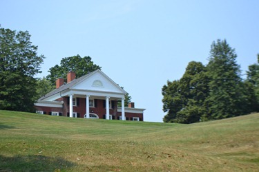
A private residence. This fellow drives through a Civil War Battlefield to get to work every day.
DSC_6885

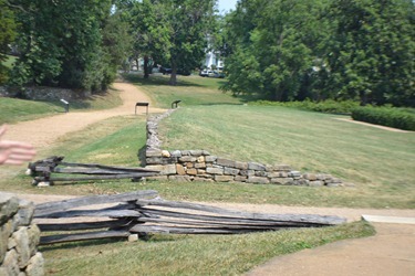
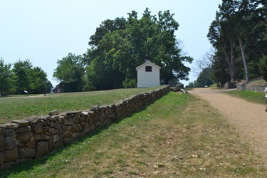
So this is the sunken road. To the right is the town and eventually the Rappahannock. To the left is the hill in the other picture. This road eventually led to Richmond. The retaining wall was used to keep the road from getting washed out. This particular section is the original retaining wall.
DSC_6882

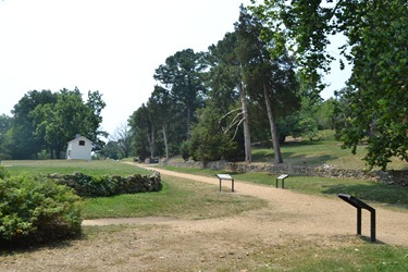
So the Yankees had to try to take the high ground by going across a field a few hundred yards long while one group of rebels set up behind the wall and another set up at the top of the hill to the right.
DSC_6886

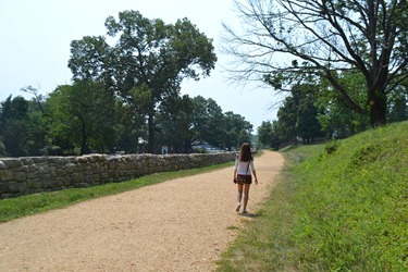
Another view. Yankees came from the left.
DSC_6887

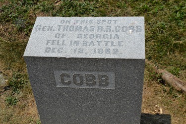
Poor fella.

DSC_6888

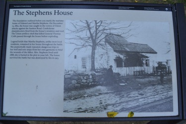
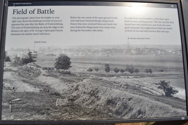
The most famous image from this particular field of battle. It shows the geography very well.

What the area looks like today.
DSC_6890

DSC_6891

After lunch in Fredericksburg (which is really a nice little town) we headed to the Stonewall Jackson Shrine, even though we didn’t quite know what it was.

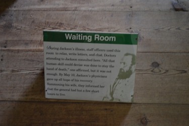
After Jackson was shot doing reconnaissance at Chancellorsville he was brought to this location near the train tracks so he could be taken to Richmond.
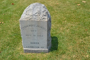
DSC_6892

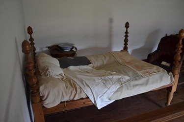
Unfortunately he was injured very badly and ended up getting pneumonia and died. This is the actual bed he passed away in.
DSC_6893

DSC_6894

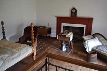
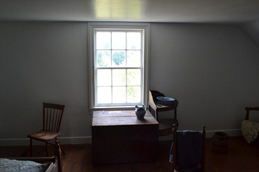
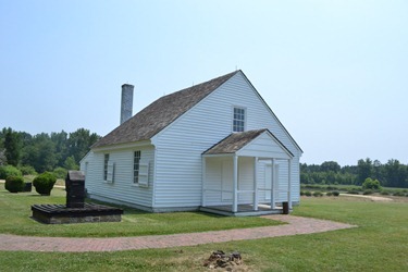
He spent almost a week here trying to heal. It was a storage building adjacent to a plantation house (which wasn’t as big as you’d think) that was quickly furnished to give it a more homely feel.
DSC_6899

DSC_6901

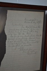
Letter written from a visitor. He’s essentially saying it doesn’t look good for ole Stonewall.
DSC_6903

It was a fairly unassuming home in the middle of nowhere. to the right of the house are the train tracks which are still used to this day.
DSC_6907

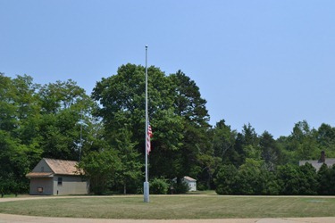
I forgot to ask if the flag was always at half mast. It should be.
DSC_6908

Thursday, June 28, 2012

Gwynn’s Island Trip (Post #5)–Tangier Island

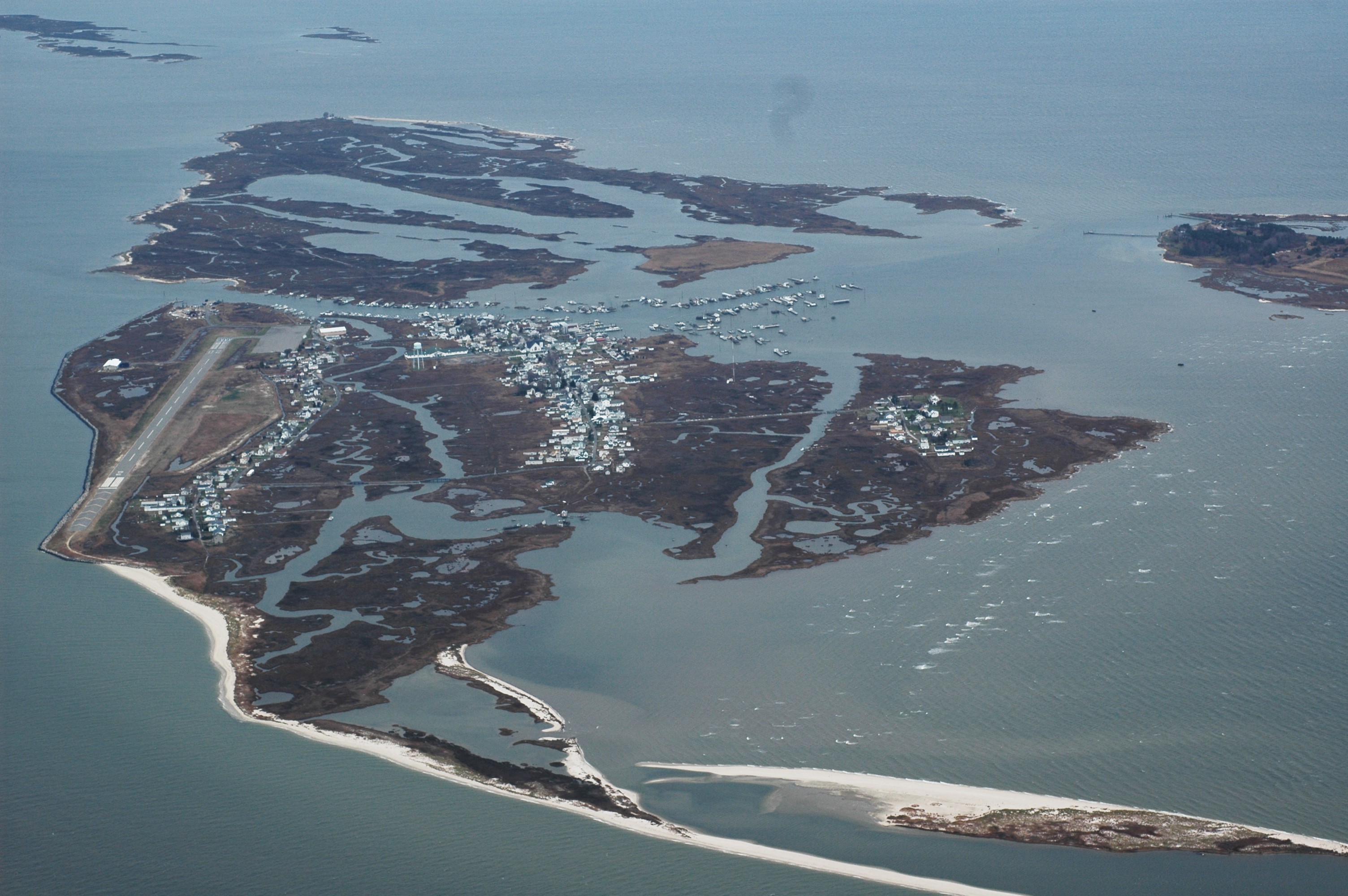
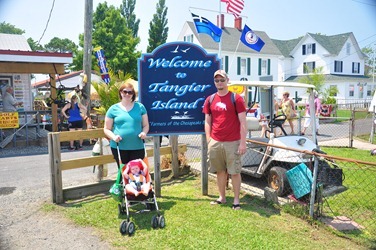
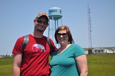
On Thursday we decided to take a trip to Tangier Island. It’s in the middle of the Chesapeake Bay and only accessible by boat or plane.

The island was used by the British to banish the males of a particularly troublesome Indian tribe in the 17th century.

It is known as the soft shell crab capital of the world. Soft shell crabs are just crabs (typically blue crabs) that are harvested after they molt. I’m told they’re good but I’ll never find out.

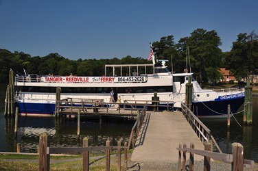
We took a ferry out of Reedville which took a little over an hour.

DSC_2850

Just casting off.

DSC_2853

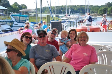
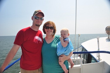
Lots of water traffic on the way there. The Bay is very busy.

DSC_2867

The older folks on the island speak with an unusual accent. It’s very similar to how they spoke 400 years ago – an old English accent.

DSC_2949

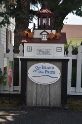
The most ornate rubbish receptacles you’ll find.

DSC_2925

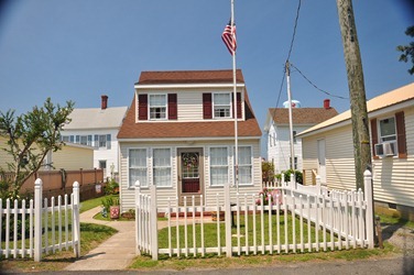
Living space is scarce and the 700 or so residents of the island make due with what they have. Many of the houses looked like typical houses but scaled down by about a third.

DSC_2926

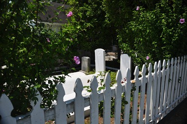
Grave space is limited and the old English tradition of burying loved ones on one’s property has left a very macabre bunch of backyards.

DSC_2928

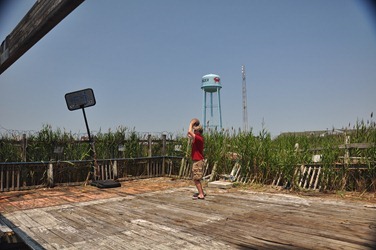
The more derelict hoops court I’ve seen.

DSC_2929

The other side of the water tower has a cross. Someone alert the ACLU!

DSC_2933

T’was a hot day and Aunt Jennifer and Gwynn needed a break.

DSC_2935

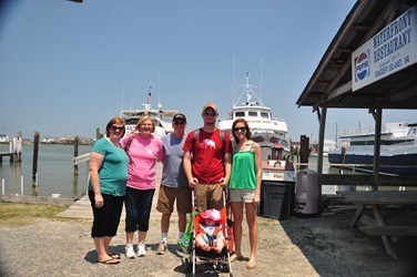
We ate at one of the few restaurants on the island. The waitress seemed surprised that three of us didn’t want to eat any seafood.

DSC_2940

DSC_2946

We stayed on the island for about three hours. You get the feeling the locals have a very different lifestyle in the mornings/evenings when the visitors go.

DSC_2952

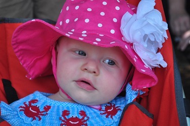
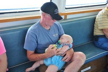
Gwynn got tuckered out.

DSC_2963